
Oneida County Neighbors Around an Address
Public records can describe the parcels that touch an anchor address, but each source has a narrow job. The map supplies the shape and position of land. The property roll names the party listed for tax purposes. A deed supplies a transfer trail when its legal description matches the parcel. Community pages point toward public contacts. None of those sources makes a reliable list of everybody at home on a block.
| Block source | What it can show | Access route |
|---|---|---|
| Tax parcel viewer | Touching polygons, PINs, and planning-layer context | Public ArcGIS viewer |
| Assessment or tax roll | Listed owner, tax mailing address, situs, and annual parcel fields | County property database and roll archive |
| Recorded deed index | Transfer parties, recording data, and legal description | SearchIQS and Clerk records |
| Voter lookup | Limited individual registration or polling lead | State lookup, with restricted full-file use |
| Neighborhood pages | Association names and public contact routes | City of Utica and UNHS pages |
| Historical directories | Dated street snapshots and former occupants | Utica Public Library and State Library holdings |
For Oneida County neighbors, keep the source type beside each name. A listed owner and a household are not interchangeable, and a tax mailing field is not proof of a person's location.
The deed index needs one more check before it adds anything to a block log: the legal description must match the parcel. Street labels can change, multiple lots can sit behind one address, and a recorded party may be connected to a larger tract rather than the nearby polygon. A PIN, print key, map reference, and date make a stronger record trail than a name match alone.
Mapping Oneida County Neighbor Parcels
The county's adjacent-parcel method begins with the anchor address, not a fixed-radius search. The research did not confirm a stable public buffer tool, so the defensible approach is to click every polygon that actually touches the anchor. A road, utility parcel, vacant lot, common area, or institutional tract may touch the property but does not make its listed party a household neighbor.
- Locate the anchor address in the Oneida County Interactive Tax Parcel Map Viewer.
- Identify its polygon and write down the PIN, situs, and municipality.
- Click each touching polygon, recording its PIN, listed owner, and situs in a block log.
- Mark road, utility, vacant, common, and institutional parcels separately before drawing any social conclusion.
- Cross-check a listed owner in the county property database, keeping the tax mailing field distinct from the parcel address.
- Use SearchIQS only when a transfer or legal-description question needs a recorded-document check.
This flow keeps neighbors tied to actual parcel geometry. For a whole named street rather than the immediate block, use the Oneida County street directory record chain.
Keep a simple recheckable log as you work: the anchor address, the date the map was opened, every touching PIN, the listed situs and owner, the municipality, and any layer that affected the conclusion. If two sources differ, preserve both records and note the date and record type. A later tax roll or deed may resolve the difference without turning an earlier result into an error.
Oneida County Neighbor Map Layers
Imagery, floodplains, wetlands, contours, school districts, sanitary sewers, and soils add useful block context in the county viewer. They can explain why a parcel line bends, why open land separates homes, or why two nearby addresses belong to different municipal areas. They are location layers, not resident data. A polygon is also not a survey or a title opinion.
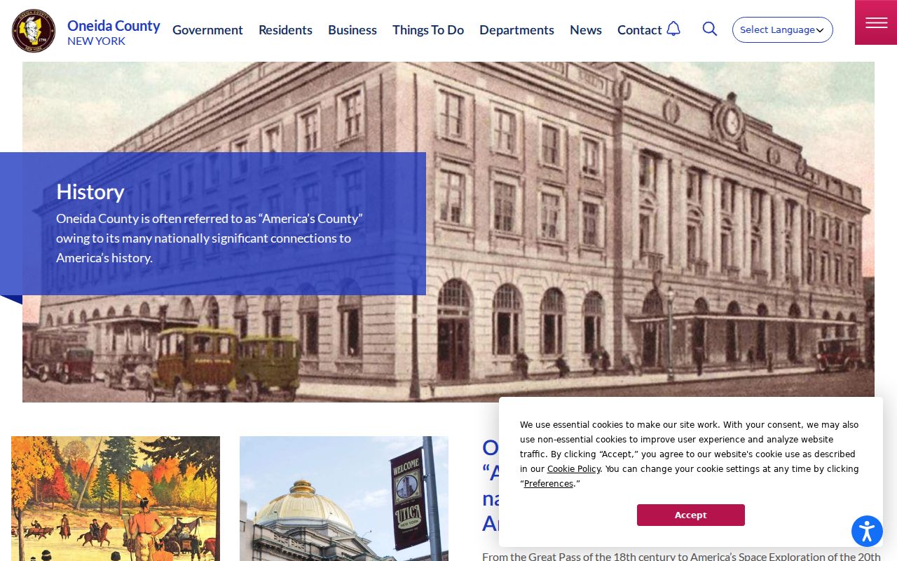
The Oneida County history timeline adds the larger geographic context behind the current map, including the county's early settlement and transportation corridors.
Use a map layer to understand the block's setting, then return to the parcel PIN and the record custodian for an address-specific fact.
County geography also prevents a false sense of closeness. A nearby parcel can be divided by a roadway, water feature, railroad corridor, or municipal boundary. Layers show the physical context, while the geometry confirms whether parcels touch. That distinction is especially useful where a familiar neighborhood name does not align with a tax-map or municipal line.
Oneida County Neighbor Household Limits
A tax roll usually supplies an owner or taxpayer, the parcel situs, and a mailing destination. The owner may live elsewhere, use a PO box, hold land through an entity, or have an outdated tax record. An exemption or matching mailing and situs field can be a useful clue where it appears, but it is never a conclusion about every person at the address.
Recorded deeds have the same boundary. They identify parties to a land transaction and its legal description. They do not create a present household roster. Keep the map, roll, and deed as separate dated observations, rather than combining them into a claim about who is a neighbor now.
Vacant land and institutional parcels deserve the same caution. They may be immediately adjacent in the GIS viewer, yet they do not describe a nearby household. Mark those parcels by their actual use in the block log and keep them separate from personal connection research.
Oneida County Neighbor Voter Limits
The New York voter registration lookup is meant for an individual's registration or polling information. It uses a name, date of birth, county, and current ZIP or address-related controls. It is not a public block browser. A no-match may reflect spelling, a move, list maintenance, or a confidential record, so it should not be used to rule a person in or out of a nearby household.
New York's full voter-file access is limited to election-purpose use, and protected voters must be excluded. Ballot choices are not public. For a neighbors search, the parcel method and association contact routes are the appropriate public starting points.
The Oneida County Board of Elections can address a person's own registration correction, but that office is not a source for an informal block list. A polling place or ward is geographic election information, not proof that every nearby address has a registered voter attached to it.
Utica Neighbor Contact Routes
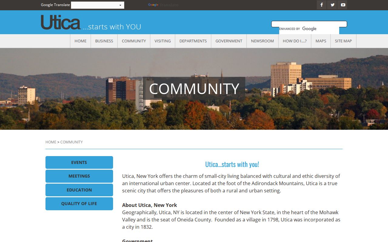
Utica's official community page names seven neighborhood-association identities. They are useful labels for civic contact and local orientation. They are not legal parcel boundaries, and no official member or address directory was located. The city directs people to association social-contact channels, so use these names to locate public-facing community activity rather than to seek private membership information.
| Utica community label | Public contact purpose |
|---|---|
| Baggs Square, Cornhill, and Oneida Square | Historic and central-city community contact routes |
| North Utica and East Utica Concerned Citizens | Neighborhood-identification and public contact leads |
| South Utica and West Utica | Community association names on the city list |
The City of Utica community page is the official source for those neighborhood labels.
For broader community-resource contacts, the Midtown Utica resource page lists organizations serving several local communities.
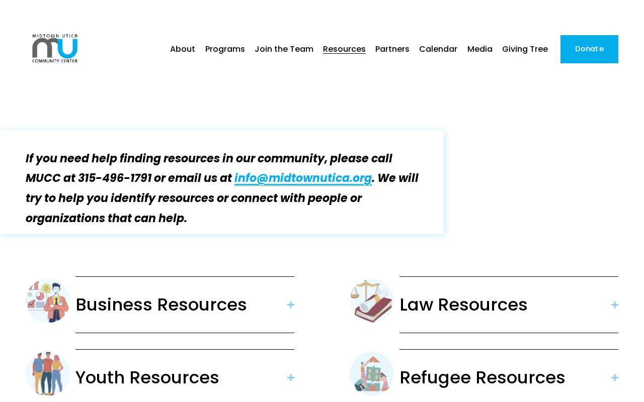
These sources help someone find public organizations and service contacts. They do not publish a directory of individual members.
Oneida County Neighbor Meetings
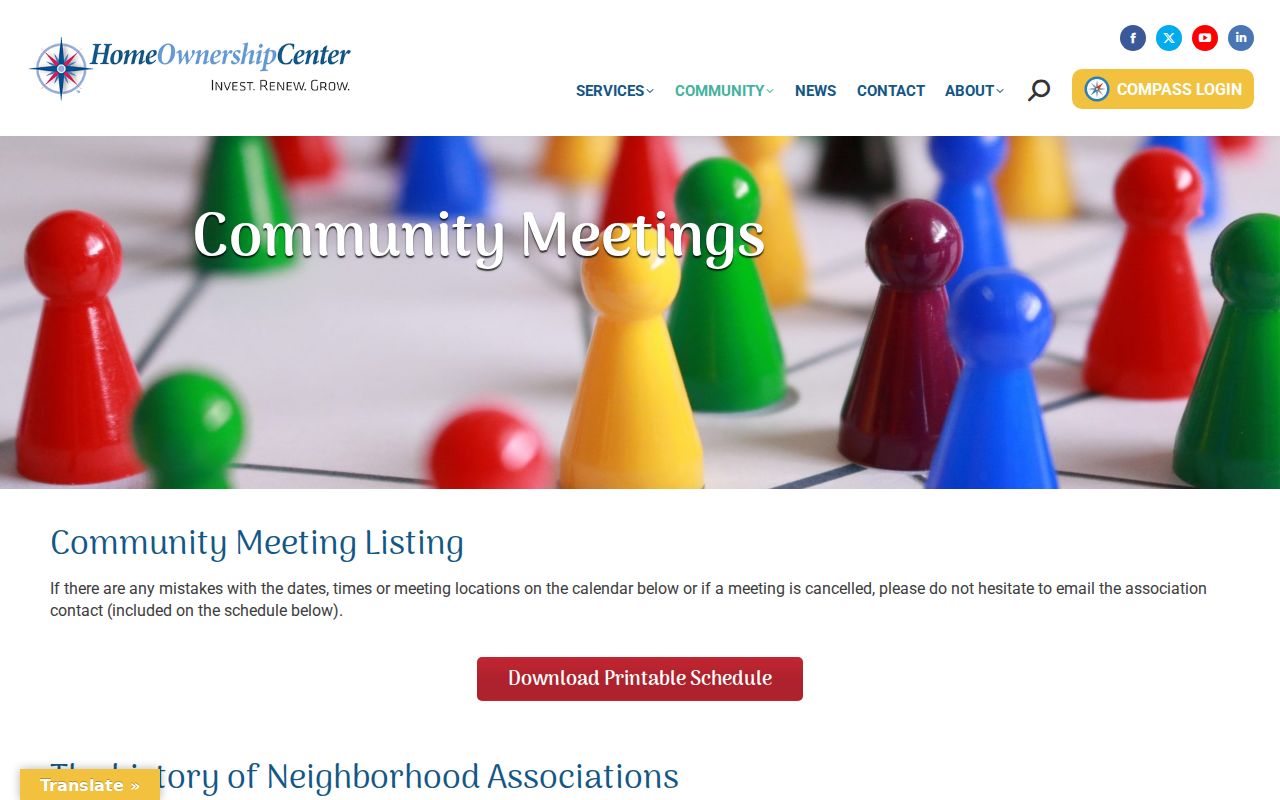
UNHS describes the Association of Block Coalitions as an organization formed in 1994 that offers technical assistance and a community-meeting connection. That makes it a practical lead for learning about block-level civic work in Utica. It does not supply a confirmed public roster of people living on any block.
The UNHS community meetings page is the source for the coalition and meeting information.
Rome offers ward, planning, zoning, and public-meeting information, but the research did not locate a comparable public Rome neighborhood-association directory. Treat public meetings as civic context, not evidence about a particular home.
Oneida County Neighbor History
Community labels often describe lived geography rather than a surveyed boundary. Bagg's Square is Utica's oldest neighborhood and is associated with the historic Union Station and Broad Street vicinity toward the Auditorium. Its historic-district setting can explain why an old directory address, an older street reference, and a modern parcel view do not look alike. It cannot define who belongs to a neighborhood today.
The City of Utica historic districts page provides context for Bagg's Square and downtown district geography.
For historic block research, compare one street segment in a dated directory with the next available year, then map the modern parcels. A gap in the directory run should remain a gap.
Oneida County Neighbor Sources Compared
Official records and commercial neighbor-search categories are built for different purposes. The first group supplies a named custodian, a record date, and a defined field set. The second may combine older public material, but its origin and update date can be unclear. Neither category proves a current household simply because a name appears near an address.
| Source category | Strength | Limit |
|---|---|---|
| Official parcel, roll, and deed records | Custodian, record type, PIN or legal-description trail, and date can be checked | Usually identifies land or a transaction, not every person at an address |
| Commercial neighbor-search category | May offer a broad starting hint | Can be stale, merge a parcel owner with a household, or omit the underlying source |
| Community pages and meetings | Public contact and civic context | Not a membership roster or a parcel-boundary source |
For Oneida County neighbors, preserve the official record's date, field label, and custodian rather than replacing them with an unverified compilation.
Oneida County Neighbor Privacy
Private household details, utility and delivery accounts, DMV data, sealed files, protected voter information, and private association membership are not a block-search resource. New York's Address Confidentiality Program gives qualifying participants a substitute address and confidential voter option, so an absent address may reflect a lawful protection. Do not try to work around a protected record through indirect sources.
Lawful use. Use Oneida County neighbor records for personal connection, civic awareness, and local history. Never use public information to monitor, intimidate, harass, or harm another person.