
A Oneida County Street Workflow
Street-by-street research works best as a chain of records, not as a name list. First normalize the address with the Postal Service spelling, directional words, ZIP, and the correct municipality. That matters in Oneida County because Main, Church, Washington, and Genesee can recur in different places. Use the standardized address to find the parcel, then use the parcel identifier to keep the next searches tied to the same land. An owner result is a tax and title lead. It does not establish who is currently present at the address.
- Confirm the USPS spelling, ZIP, and city or town label. Keep the original form from an older deed beside the current form if they differ.
- Find the polygon in the county GIS viewer and record its PIN or print key, situs, and municipality.
- Open the county property database for the owner, tax mailing address, class, values, exemptions, acreage, and other fields that the live result displays.
- Search the County Clerk's SearchIQS index for the owner's purchase deed and compare its legal description with the parcel.
- Use the voter lookup only to check a known person under its individual search rules, not to build an all-voters-on-a-street result.
- For an older address snapshot, check street and alphabetical directory sections for the exact year.
- Ask the applicable city or town office for an address-specific permit or code file when that record is needed and releasable.
Save the source date with each step. A later deed, annual roll, or directory issue can describe the same street differently, and that difference often explains a conflicting name.
Oneida County Street Search Fields
The Oneida County property database advertises owner-name and address searching. A situs address is the physical location of a parcel. Start there when the goal is to identify land along a street. Where the live result allows it, an owner name, PIN, or print key can refine the search. Record the full result rather than copying only one name. The current interface can change, so field labels should be checked again at the time of use.
| County field or control | Street-directory use |
|---|---|
| Owner name | Finds parcels listed to a person or entity when the live search supports it. |
| Street or situs address | Locates the physical parcel along a named street. |
| PIN or print key | Connects the property result to the map and legal-record trail. |
| Municipality or SWIS | Separates same-named streets in different local jurisdictions. |
| Mailing and PO box fields | Shows the tax-notice destination, which must be kept separate from situs. |
| Value, class, exemption, acreage, sale, or building fields | Supplies parcel context only when those fields appear in the current result. |
The property search illustrates the starting point for a Oneida County street directory lookup.
Use the result as a parcel lead, then compare it with the mapped PIN and the deed's legal description before treating two address results as the same property.
Oneida County Street Parcel Map
The Oneida County Interactive Tax Parcel Map Viewer turns a street address into a spatial check. Zoom to the address, identify the parcel polygon, and then click consecutive parcels for a true street segment. The viewer also supplies imagery, floodplains, wetlands, contours, school districts, sanitary sewers, and soils. Those layers explain the setting around a parcel. They do not prove a boundary, title, or a person's residence.
A useful map log has the PIN, listed owner, situs, municipality, and access date for every parcel. Do not infer adjacency from consecutive house numbers alone. A curve, rail line, river, municipal edge, private drive, common parcel, or vacant tract may separate the physical parcels.
The Real Property Services office maintains countywide assessment and tax-roll data that can be cross-checked after a map click.

A parcel polygon is a map reference. The PIN and supporting record are stronger anchors than a familiar-looking street label.
Oneida County Street Deed Trail
Property ownership along a street becomes more specific in SearchIQS, the County Clerk's public land-record index. Its search options include Party 1 and Party 2, last and first name, wildcards, date range, document group or description, town, book and page, instrument, and case number. Begin with the current listed owner as grantee, open the purchase deed, and note the grantor, recording date, and legal description. Then search the earlier grantor as grantee, always checking the same parcel reference.
The County Clerk's legend shows deed index and data for 1963 to 1974, with index and images from 1974 forward. A deed may use metes and bounds, a subdivision map, a tax-map reference, or a book and page instead of the modern street form. Mortgages, liens, maps, and notices can name a parcel but are not proof of a transfer. For older conveyances, use the Clerk's archival books or a historical records request.
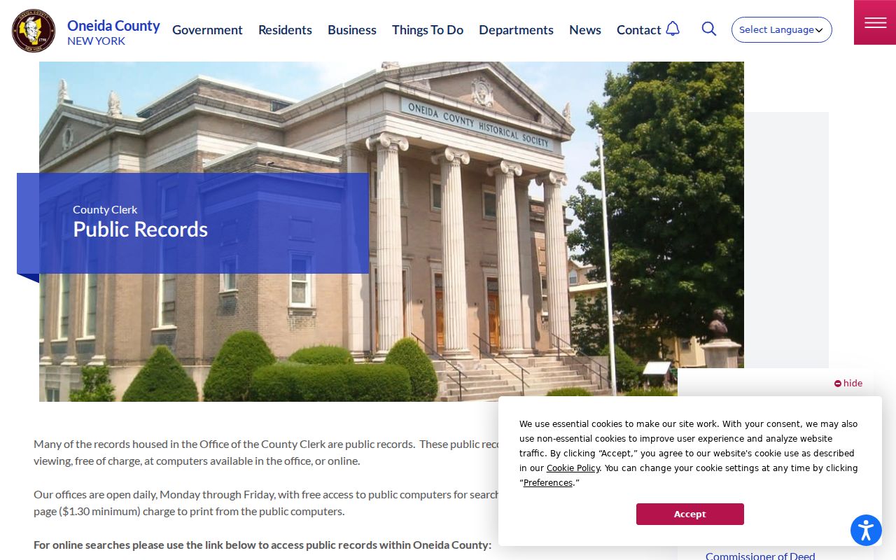
The County Clerk records page links the public index and office record options.
The legal description is the bridge between an address search and a defensible deed trail, especially after a parcel split or merge.
Oneida County Street Record Coverage
Each address-keyed source answers a different question. Combining them helps distinguish a current tax listing from a recorded transfer, an older directory entry, or an address-specific municipal file.
| Address record | County keeper or source | What it establishes | Access route |
|---|---|---|---|
| Assessment or parcel card | Local assessor and Real Property Services | Taxpayer, situs, mailing, parcel ID, class, value, and exemptions where shown | County database or roll archive |
| GIS parcel | County Planning and GIS | Parcel geometry, PIN, map layers, and nearby parcel context | Public ArcGIS viewer |
| Recorded deed | Oneida County Clerk | Parties, transfer date, legal description, and recording reference | SearchIQS or office books |
| Directory issue | Utica Public Library and New York State Library | A dated historical address snapshot | Scans, microform, or library access |
| Permit or code file | Applicable city or town office | Releasable work, inspection, or violation details | Address-specific request or FOIL |
The assessment-roll archive provides municipality-by-municipality final assessment material for year comparisons.
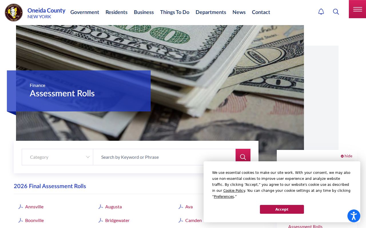
An archived roll can show a change in the annual tax record, but it should be read beside its publication year and municipality.
Oneida County Street Address Terms
Address records use several labels for related but different things. Keeping the terms apart prevents a mailing field or map label from carrying more weight than it should.
- Parcel
- A defined piece of land in the tax map system, commonly tied to a PIN or print key.
- Situs address
- The physical location of that parcel, used to locate it on a street and map.
- Plat or subdivision map
- A recorded map that can identify lots and boundaries within a mapped subdivision.
- Criss-cross directory
- An address-arranged directory that can place older households along a street; no dedicated public Oneida County series was confirmed.
The tax roll may also show a mailing address. That is where tax notices go. An owner may use a different address or PO box, so it is not evidence of a current physical presence at the situs.
Oneida County Street Voter Limits
The New York voter registration lookup is an individual search. It asks for a last name, first name, date of birth, county, and current ZIP or address-related controls. It can be a narrow confirmation for a known person, but it does not provide an ordinary public result for every voter on a street. A no-match can reflect a spelling difference, recent move, list maintenance, or a protected record.
New York's full voter-file route carries election-purpose restrictions, and protected voters must be handled accordingly. Ballot choices are not public. For a street directory search, leave voter records out unless the individual lookup and purpose are appropriate. The parcel and deed records remain the better street-level trail.
Oneida County Street History
For a past occupant, use the Utica Public Library and New York State Library directory holdings as dated snapshots, not as a current roster. The local directory run reaches from 1817 to 1951 with gaps and some surrounding-community coverage. Check both the alphabetical and street sections, read the abbreviations, and write down the exact year. A business address, boarding address, and a later parcel owner can all appear in separate records without describing the same relationship to the property.
When the question shifts to historical city-directory collections rather than a current street chain, the Oneida County Directory Book gives the collection-focused path. For a street segment, choose a fixed intersection, read several consecutive directory entries, compare the next available year, and preserve any missing years as gaps.
Oneida County Street Geography
Oneida County has three cities, 26 towns, and 16 villages. That geography is a practical street-search issue, not just a map fact. A city name in a postal address can differ from the tax municipality, village, or legal boundary. The same street name may exist in more than one local jurisdiction. Use the municipality or SWIS field with the street name, and use the GIS map to check the parcel's local setting.
For an older number, compare the directory street section, nearby intersections, historic map, PIN, legal description, and a current USPS check. No authoritative countywide renumbering history was located, so a number change should not be assumed. A dated record can be useful even when its postal label no longer matches the present parcel description.
Oneida County Street Record Access
The County Clerk offers free public-computer and archival-book self-search in the office from 8:30 to 4:15 on weekdays. A mailed records search request is listed at $5 per name per two-year period. Copies are listed at $0.65 per page with a $1.30 minimum, while certification and delivery have separate charges. Recheck fees and current hours before requesting a record.
Older land material may need that office route. The Clerk added staff for deed digitization in 2023 and obtained a map scanner in 2024, but the deed and map backfile work remains ongoing. That is useful context for a street directory search: an absent online image may call for a legal-description search or an in-office record, not a guess that the parcel has no older history.
Oneida County Street Code Files
No unified public Oneida County permit or code-case portal was confirmed. An address-specific request to the applicable city or town Code Enforcement office is the safer route when a released permit, inspection, or code record is needed. A FOIL request should identify the street address, the approximate date or project if known, and the type of record sought. The custodian can then apply any record-specific exemptions or redactions.
A permit can place work or an inspection at a property on a date. It may name an applicant, contractor, or owner, and those roles do not automatically establish a present connection to the address. Add the record type, date, and office to the address log. That preserves the difference between an activity record and the parcel's ownership trail.
Oneida County Street Lookup Limits
A public parcel, deed, directory, or tax record is not a complete list of the people connected to an address. Private household details, utilities and delivery accounts, DMV information, sealed material, and protected addresses are not a street-search layer. A parcel owner may be an entity or may receive tax mail elsewhere. Treat every source as dated evidence with a defined purpose.
Lawful use. Use Oneida County street records for personal research, family history, civic curiosity, and property questions. Never use an address trail to monitor, threaten, harass, or harm another person.