
Oneida County Postal Coverage
The official New York ZIP-to-county FIPS cross-reference returns 63 ZIP codes for Oneida County FIPS 36065. That is a completeness check, not a claim that every address in each code lies inside the county. The practical groups below use the postal labels documented for the county and keep secondary, small, and cross-county service areas visible. Confirm an individual delivery address before relying on a label.
| ZIP | Areas covered | Post office or postal label | Oneida County note |
|---|---|---|---|
| 13501 | Utica primary postal area | Utica | Postal area is not the city boundary |
| 13502, 13503 | Utica secondary and small service leads | Utica | Verify the exact address and service type |
| 13504, 13505 | FIPS-confirmed Utica service leads | Utica | Current delivery detail needs USPS verification |
| 13599 | Utica special or PO-box-style lead | Utica | Not a neighborhood boundary |
| 13440, 13442 | Rome primary and secondary postal areas | Rome | City and ZIP limits differ |
| 13413 | New Hartford postal area | New Hartford | Use tax situs for municipal questions |
| 13421, 13461 | Oneida and Sherrill postal areas | Oneida; Sherrill | Postal labels, not countywide jurisdiction labels |
| 13303, 13309, 13323 | Ava, Boonville, and Clinton | Ava; Boonville; Clinton | Village or town boundaries can differ |
| 13403, 13424, 13492, 13495 | Marcy, Oriskany, Whitesboro, and Yorkville | Matching postal labels | Check the parcel municipality |
| 13123, 13157, 13162 | North Bay, Sylvan Beach, and Verona Beach | Lake-edge postal labels | Address verification is essential |
| 13341, 13362 | Franklin Springs and Knoxboro small leads | Service type unconfirmed | May be PO-box or limited service areas |
New York's ZIP-to-county FIPS cross-reference is the source for the Oneida County 36065 coverage check.
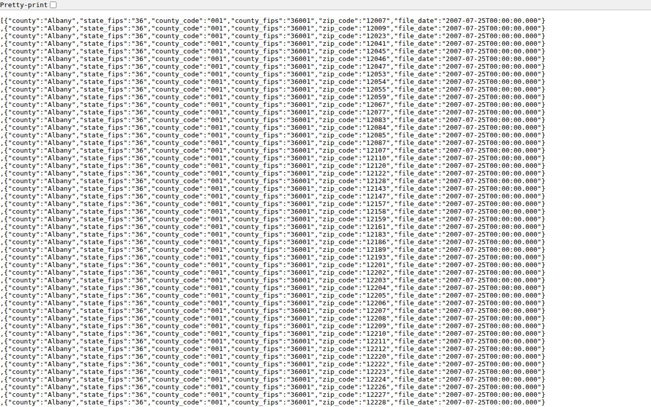
The complete cross-reference also includes many rural and edge codes. A code's appearance in the data means it has an Oneida County relationship, not that its whole delivery footprint is in the county.
Oneida County ZIP Groups
Use large-city labels as a starting point, not a final location answer. Utica's 13501 is the primary postal area, while 13502 and 13503 are secondary or smaller delivery leads and 13504 and 13505 need exact service confirmation. Rome's 13440 is its primary postal area and 13442 is secondary. New Hartford uses 13413, while Oneida and Sherrill use 13421 and 13461.
Outside those centers, the list follows village, hamlet, and rural delivery patterns. Ava, Boonville, Clinton, Marcy, Oriskany, Whitesboro, Yorkville, North Bay, Sylvan Beach, and Verona Beach are useful postal labels. They should not be converted into a list of residents or a legal municipal boundary without checking the address and parcel.
Rural labels need the same care as the larger city labels. The FIPS list also includes Alder Creek, Barneveld, Blossvale, Bridgewater, Camden, Holland Patent, Lee Center, Remsen, Vernon, Westmoreland, and Westernville. Some labels are strongly associated with an adjacent county or service area. Where the local table did not establish the current preferred USPS place, treat the code as a verification task instead of filling the gap with a guessed post office.
Oneida County ZIP Edge Test
The number 63 is valuable because it exposes easy-to-miss edge codes. Codes such as 13032, 13042, 13402, and 13480 have cross-county or edge context. The state cross-reference captures an association with Oneida County, while a delivery route can extend elsewhere. For any county-sensitive question, test the exact address with USPS and then check the tax municipality or GIS parcel record.
This is especially important around the lake edge and rural roads, where a preferred mailing place, county line, village name, and census label can point in different directions. A postal directory is strongest when it preserves those differences instead of flattening them.
The county health survey's 2022 appendix makes the same practical point: ZIPs can cross county lines, and a respondent may report Oneida residence while using a postal code that reaches beyond the county. The FIPS cross-reference is therefore a broad county relationship test. The postal result, tax roll, and parcel map resolve the address-specific question.
Find Oneida County Residents by ZIP
A Oneida County postal directory can narrow an address question, but it does not produce a public ZIP-wide resident roster. Begin with the delivery address and a specific record question. From there, use the portal whose key matches the question: USPS for delivery, a tax record for parcel and municipal context, GIS for location, and a name-based state tool only for its limited stated purpose.
- Enter the street address, city, and state in the USPS by-address lookup. Save the returned ZIP as the delivery result for that address.
- Identify the municipality and parcel if the question concerns a location. The tax situs and GIS polygon are stronger for that task than a postal city label.
- Use an owner, parcel, or street search in the property system when the record is available. Do not assume that a ZIP filter exists if the portal does not show one.
- For a named person, use the voter lookup only as a limited registration and polling lead, then compare it with another dated official record.
USPS postal lookup is the required address-validation step.
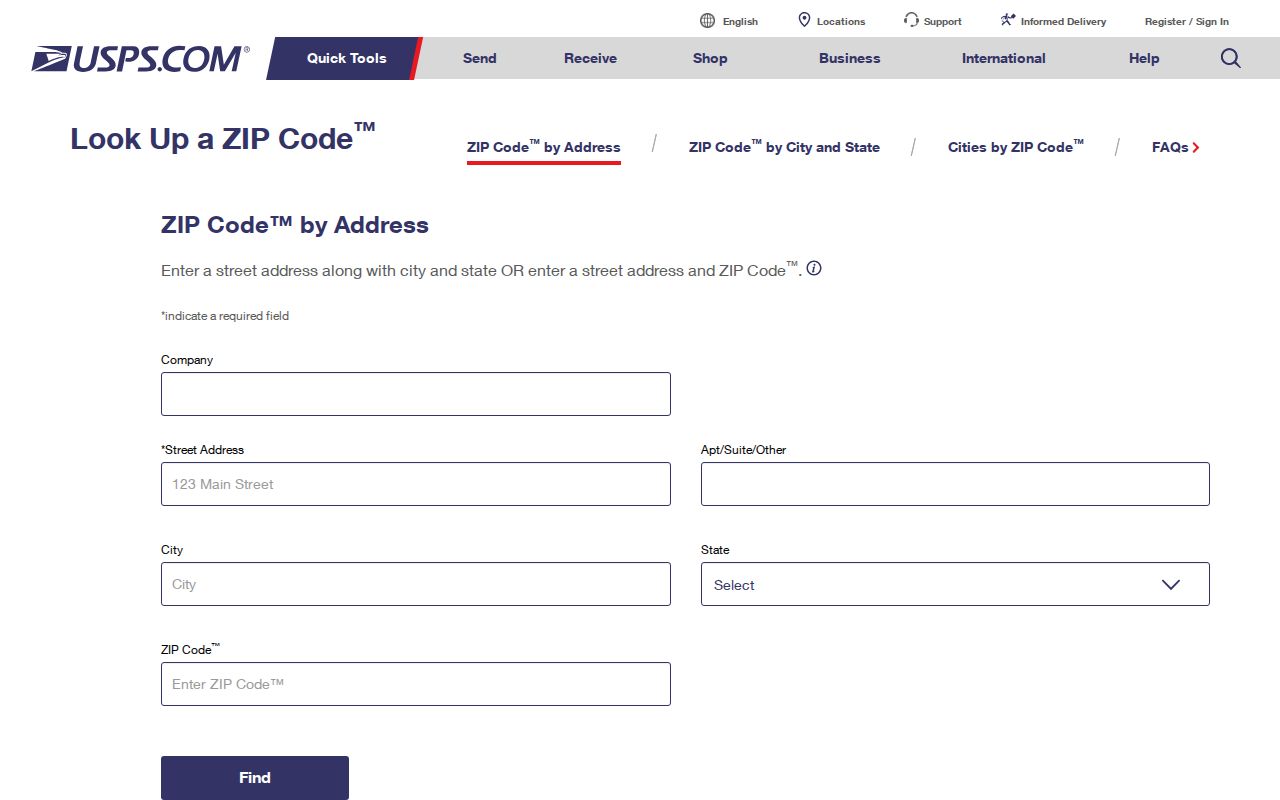
Once a ZIP narrows the place, use the Oneida County street directory for the address-level record trail. The ZIP remains a delivery check, while the parcel and document history answer different questions.
Oneida County ZIP Portal Limits
Official systems use different search keys. The table states what the research confirmed and keeps unverified filters out of the process. A blank or unavailable ZIP choice does not mean the underlying records are absent. It means the search needs to move to an address, parcel, municipality, or named-person route.
| System | ZIP-capable behavior | Practical limit |
|---|---|---|
| USPS by-address lookup | Accepts street address, city, and state to return the ZIP for that delivery point. | Validates delivery, not a municipal boundary. |
| County property database | Owner-name and street-address searches are advertised; parcel or PIN fields are available in county data. | ZIP-filter behavior was not confirmed. |
| State voter lookup | Uses last name, first name, date of birth, county, and ZIP or address-related controls. | No ZIP-wide public export; full-file use is restricted. |
| County GIS | Uses spatial parcels and map layers. | ZIP is not a guaranteed query layer. |
| SearchIQS | Provides town, party, date, document, book/page, instrument, and case search choices. | No demonstrated ZIP filter. |
The Oneida County property database, state voter lookup, and SearchIQS should be used only with the fields their public screens offer.
A ZIP can still be useful before a portal search begins. It helps test whether an address was copied correctly and can flag a likely postal-place mismatch. It cannot replace a municipality selection, parcel identifier, legal description, or a person's full identity controls.
Oneida County Postal Geography
Postal geography and civic geography overlap without matching. A mailing city may be Utica, Rome, or another familiar label while the parcel is taxed in a town or village outside that city's limits. A census place is another statistical label, not a deed description. Oneida County spans urban centers, lake-edge communities, and rural towns, so the label that helps a carrier often differs from the one used by the assessor.
Municipal mismatch. A postal city or five-digit ZIP does not prove that a parcel lies within that city. Verify the tax municipality, GIS location, and legal situs for a boundary question.
Oneida County ZIP Tax Keys
Keep four address facts separate in a Oneida County postal search: situs, tax mailing address, legal description, and postal city with ZIP. The situs is the physical parcel location. The mailing address is where tax notices go. A legal description identifies the title boundary, and the postal label is the delivery convention. They can disagree without any one record being wrong.
The Oneida County tax-roll archive provides municipality-by-municipality records for recent years.
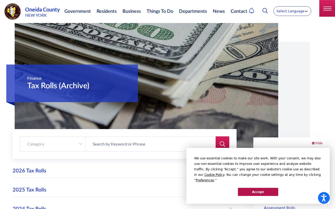
Tax rolls can provide owner or taxpayer and situs context, but they are not a ZIP-wide resident list and do not prove that every listed owner lives at the parcel.
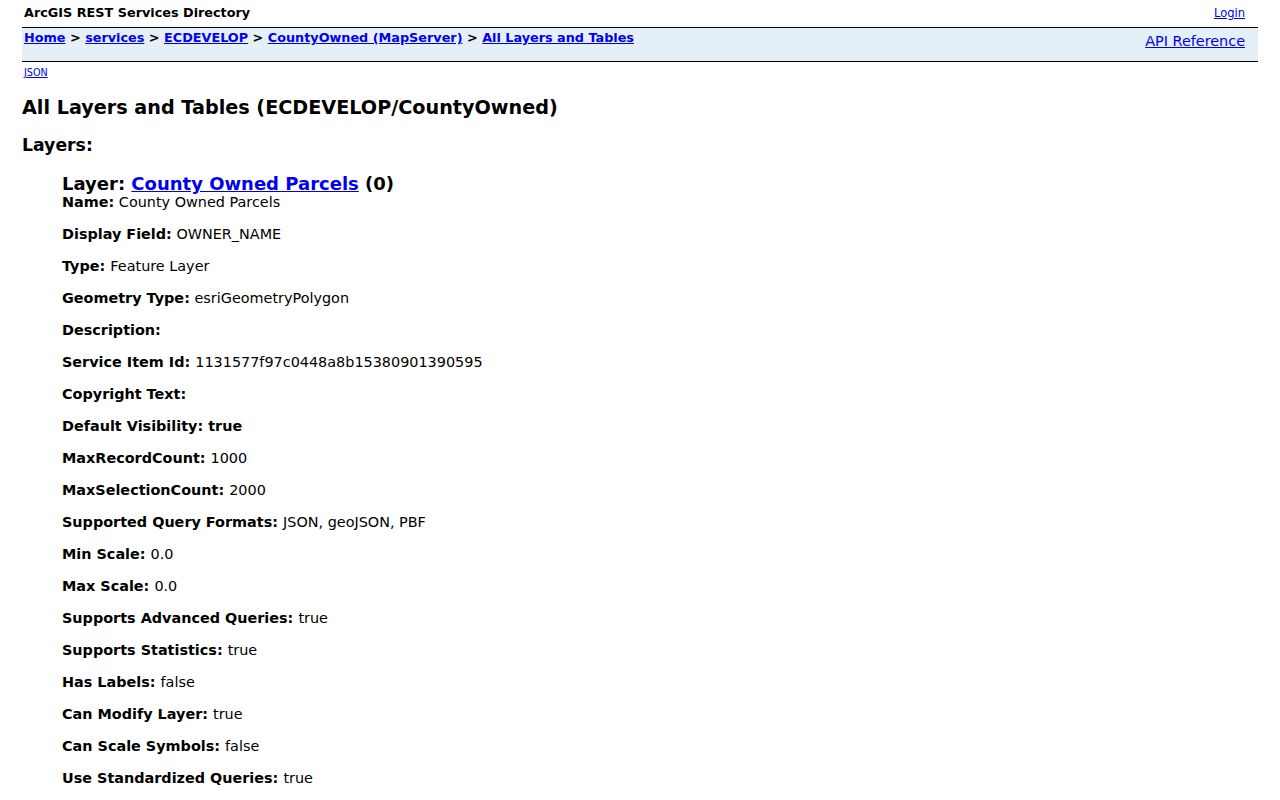
The CountyOwned GIS layer schema documents address, mailing ZIP, parcel, and geometry fields used in county mapping data.
The county's interactive mapping entry point is the spatial check. Parcel geometry answers where land is mapped; the deed and tax roll supply the record-specific context.
Oneida County Special ZIPs
Small or special codes require the most restraint. Franklin Springs 13341 and Knoxboro 13362 are small or PO-box leads in the county cross-reference, while Utica 13599 is a special or PO-box-style lead. Their appearance in official data does not identify a neighborhood, building, or full delivery area. USPS must confirm the address and service type before the code is used in a records search.
That caution also applies to FIPS-confirmed codes whose current preferred postal place was not captured in local source material, including 13340, 13409, 13441, 13455, and 13494. A complete cross-reference is useful precisely because it keeps these uncertain entries visible. It is not permission to supply a place label that an official delivery lookup has not returned.
Note: Keep a small or special ZIP as a postal lead until USPS confirms its delivery function for the exact address.
Oneida County ZIP Boundaries
ZIP boundaries do not settle county, city, village, or parcel questions. The Oneida County postal directory supports careful narrowing, but each resulting record still needs its own custodian and key. Use USPS for delivery, GIS and tax situs for location, and the County Clerk legal description for a land-record question. That division avoids turning a mailing label into a claim about municipal residence.
- ZIP code and ZIP+4
- A five-digit ZIP identifies a broad delivery area. ZIP+4 adds a smaller delivery segment, such as part of a route or building range.
- PO-box ZIP
- A code used for post-office box service. It should not be treated as the physical area where a person lives.
- Unique or special ZIP
- A code associated with specialized delivery handling. Its service type must be confirmed before drawing a geographic conclusion.
- Carrier route
- A mail-delivery sequence used by USPS. It is operational routing, not a municipal or parcel boundary.